
Geospatial Technology: Mapping the Future
5 min read
22 Aug 2025
Geospatial technology is transforming how we collect, analyze, and visualize geographic data, revolutionizing various industries from urban planning to agriculture. This article explores the applications, benefits, challenges, and future trends of geospatial technology in mapping and beyond.
Applications of Geospatial Technology
Urban Planning: Using GIS (Geographic Information System) data for city mapping, infrastructure planning, and disaster management.
Environmental Monitoring: Monitoring land use changes, deforestation, and biodiversity through remote sensing and satellite imagery.
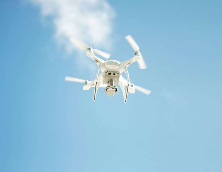
Precision Agriculture: Optimizing crop management, soil analysis, and irrigation strategies using spatial data and GPS technology.
Benefits of Geospatial Technology
Data Visualization: Creating interactive maps, 3D models, and spatial visualizations to aid decision-making and communicate complex information.
Efficiency and Accuracy: Improving efficiency in resource allocation, route planning, and emergency response through real-time spatial analysis.
Collaboration and Integration: Facilitating collaboration among stakeholders and integrating geospatial data with IoT, AI, and big data analytics for comprehensive insights.
Challenges and Considerations
Data Privacy and Security: Safeguarding sensitive geographic information and addressing concerns over data ownership and access.
Technological Integration: Overcoming interoperability challenges and integrating diverse geospatial technologies and data sources for seamless operations.
Skill Development: Addressing the need for skilled professionals proficient in GIS, remote sensing, and spatial analysis techniques.
Future Trends in Geospatial Technology
Digital Twins: Creating digital replicas of physical environments for simulation, monitoring, and predictive modeling.
AI and Machine Learning: Enhancing geospatial analysis with AI algorithms for pattern recognition, anomaly detection, and predictive analytics.
Location Intelligence: Leveraging location-based insights for personalized marketing, logistics optimization, and smart city development.
Conclusion
Geospatial technology continues to evolve, offering innovative solutions for addressing global challenges and unlocking new opportunities across industries. By harnessing the power of geographic data and advanced technologies, organizations can make informed decisions, drive sustainable development, and shape a smarter future.

The AR Breakthrough That Will Make Blockchain Transactions Simpler Than Ever!
7 min read | 11 Oct 2025
How AI Is Making Blockchain Smarter and Safer – The Inside Scoop!
7 min read | 10 Oct 2025
The Big Tech Twist: How VR Is Set to Disrupt Blockchain Like Never Before!
6 min read | 09 Oct 2025
Unlocking the Power of AR: How Augmented Reality Is Set to Revolutionize Blockchain!
6 min read | 08 Oct 2025More Articles

Geofencing: The Technology That Knows Where You Are and What You Need
4 min read | 28 Aug 2025

Location-Based Services (LBS): How Your Phone Knows Where You Are
6 min read | 27 Aug 2025

Remote Sensing: The Invisible Technology Transforming Industries
6 min read | 26 Aug 2025
Autonomous Drones: The Sky’s No Longer the Limit
6 min read | 25 Aug 2025
More Articles

Revolutionizing Retail: AR and VR Experiences in Shopping
2 min read | 15 Sep 2025

The Art of Immersion: AR and VR in Creative Industries
4 min read | 14 Sep 2025

Virtual Reality Therapy: The Potential for Mental Health Treatment
3 min read | 13 Sep 2025

AR and VR in Sports: Enhancing Performance and Fan Engagement
4 min read | 12 Sep 2025